


NOAA's USCRN. Are the stations truly rural places without man-made objects?
The USCRN dellusion

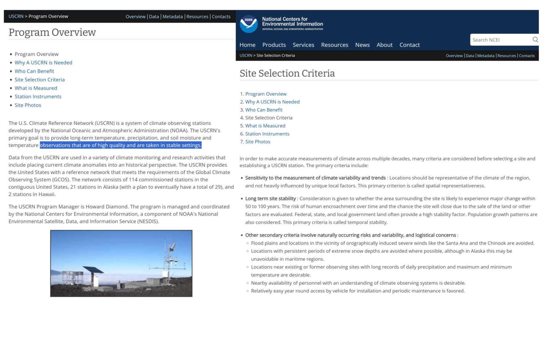
Introduction
The United States Climate Reference Network (USCRN) is widely regarded as the most accurate and unbiased climate reference network in the world. Designed with precision, its stations are intended to be free from any form of bias and homogeneously placed in rural, untouched environments. At first glance, the slideshow of the USCRN stations—spread across 145 pages—looks impressive. Each station appears to be situated in pristine, truly rural locations, far removed from any man-made alterations or objects. It’s exactly what you’d expect from a network designed to provide pure, untainted climate data. But is this portrayal the whole truth?

The USCRN Network - requiriments and objective: the theory.
The USCRN’s main objective is to position stations in stable, rural settings, away from urban heat islands and human activities that could skew temperature readings. Urban areas, with their concrete, farmland and asphalt, retain heat, leading to artificially inflated data. By avoiding these areas, the USCRN ensures more accurate climate measurements.
Ideally, USCRN stations are placed in natural, undisturbed locations to reflect the climate in its most unaltered form. This avoids the influence of construction, deforestation, farmland, WECs/PV farms or industrial activities, maintaining data purity and providing a reliable baseline for climate monitoring.
The network also emphasizes consistency and uniformity, ensuring that all stations are located in similar environments. This homogeneity is crucial for comparing and aggregating data across the network, creating a comprehensive and accurate picture of climate trends.
The requirements set by NOAA for the USCRN are exemplary. The key objectives are listed below. These standards are essential for accurately measuring climate changes without the influence of man-made warming from urbanization and other human alterations to the environment, which typically increase temperature unless they involve reforestation or re-naturalization efforts.
https://ncei.noaa.gov/access/crn/overview.html…
unchanging physical surroundings, particularly avoiding man-made structures
Locations representative of the climate
Long term area surrounding stability
spatial representativeness
observations of high quality and stable settings
NOAA Stations: The Slideshow Illusion
NOAA's presentation of USCRN stations seems impeccable at first glance. The slideshow, with its 145 pages, showcases each station in deep rural settings, surrounded by untouched nature—a perfect, scenic representation. With each page dedicated to one station, you would expect all of the 114 now active stations to be included. However, that's not the case. So, which stations are missing, and what does this selective omission reveal about NOAA's motivations?

Some stations have been decommissioned. Counting them all gives 159. It was ramping up between 2002 and 2008. Since 2008, we can consider it finished and operational in a representative manner.

The hidden - yes urban - USCRN stations
Somewhat by accident, and thanks to our unwavering attention to detail by
despite my discouragements, we discovered that NOAA is omitting many stations in their photo slideshow. Upon examining their locations, we found them in fully urbanized spaces such as airports and towns, surrounded by concrete, and even near space shuttles. So, what do these concealed stations actually look like? They resemble urban areas and airports. Here are some examples from Alabama: on the left-hand side are all 19 AL stations that report data, while the right-hand side shows only 3 that are displayed in the slides.
Remember their requirements: The settings should resemble the Everglades, free from man-made environmental alterations, stable, and representative. I initially praised NOAA for upholding this exceptional standard. Well... I was mistaken. They conceal the urban stations, which clearly showcases a narrative done deliberately. Such behavior is obviously not acceptable for a supposedly neutral scientific agency

Examples of the typical hidden stations from Alabama
Examples of typical hidden stations from Alabama include urban areas, cities, and airports, which clearly do not align with CRN requirements or objectives. These locations are neither rural nor free from man-made biases.

Next: an airport, concrete surfaces, a shopping center. None of these would appear scenic, would they? Hence, they are not shown. Their deliberate omission indicates bad faith on their part—they are aware of this, and now, we are too. We know that they know, and they know that we know.

More industrial concrete and airports.

This is clearly unsuitable. On the right-hand side, we see an area that definitely doesn’t indicate long-term stability. It appears they are digging.

This doesn't look rural or unaltered—it's residential. What place does this have in a CRN station network?

These were just examples from Alabama. Now, your task: can you spot the space shuttle in one of the images provided? Yes, the right camera angle is crucial for hiding it.
found it. Can you? Nice shot, NOAA.
Conclusion
The revelation of NOAA's deception marks a significant erosion of trust, which should never be given lightly. The deliberate concealment of urban stations is no mere oversight; it is a clear indication of their awareness and intent, which serves to reinforce their narrative. Rigorous scientific work cannot be conducted when narratives override the need for critical scrutiny.
How we figured this out is shown here for your amusement and lessons learned.
Next, we need to analyze the impact and review the entire set of stations to identify which ones are hidden. These should then be excluded from the temperature series. Secondly, create a series that only includes the hidden stations to quantify the error and bias.
Addendum - 25th June
After further review, it appears that all of the hidden stations are located in Alabama, although the reasons for this are unclear. They do not show up in the official map but do provide data. Is there something climate noteworthy happening in Alabama that we have to know about…? These stations are not displayed on the official map, yet they do provide data. Their impact on temperature averages is negligible, and they are likely not included in the USCRN-based national average. However, the practice of concealing information and displaying window-dressed photos significantly undermines trust. At the level of measurements and data, everything must be agnostic and transparent.

Addendum - 1st July
As @NOAAClimate USCRN window-dressed photos caught our curiosity we now inspect one of the "best" stations using S2 images from 2023: Copernicus S2 SR Harmonized Notebook.
The May image reveals significant man-made pollution, a dirty airport, town, and mines, which are not beneficial for temperature sensor accuracy.

The location is one the most remote ones in Alaska. Due to natural weather circumstances, operating stations there will be limited to human areas. It’s dark for 6 months of the year there. The credibility of such high latitude measurements is low.

Finally, using the GHSL: Global Built-up Surface 1975-2030 dataset, we can pull metadata for various locations. We observe that urbanization is prevalent in Alabama (AL). Texas (TX) is much more rural, although urbanization is increasing here as well, albeit at lower levels.

It’s apparent that radical leftist ideologues are in control of much of the Federal Government. The publicly available data from most Executive Branch agencies has been manipulated to advance leftist/Democrat political objectives….. inflation and unemployment statistics are fudged to make the economy look better, crime statistics are “estimated’ by the FBI, Federal deficit and debt numbers are underestimated, and now this. There is much, much, more.
There have always been questionable government statistics, but since Obama and Biden politicized EVERYTHING under their control, nothing reported by a federal agency can be believed, especially about “climate change”.
And it’s only getting worse……
Thx,